
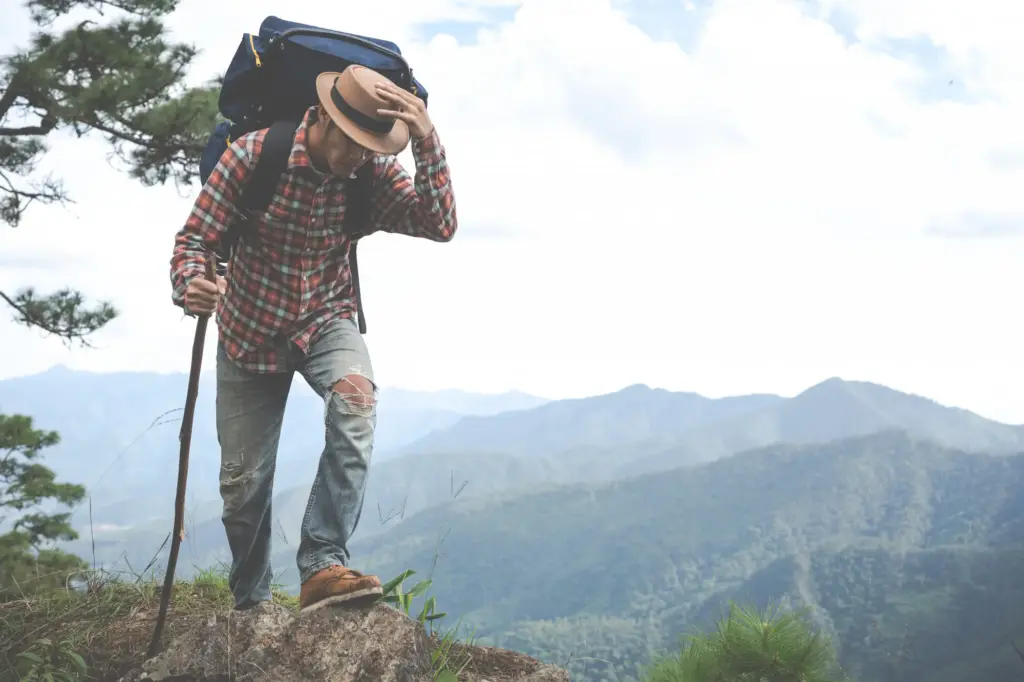
Through Snow and Stone: Confident Alpine Navigation
Today we dive into navigating the Alps with map, compass, and weather lore, blending practical craft with lived mountain wisdom. Expect vivid examples, safety-first decision-making, and honest anecdotes that help you move surely from valley to col, glacier to welcoming hut, even when clouds erase the world and the wind redraws the ridgeline.
Topographic Truths Beneath Your Boots
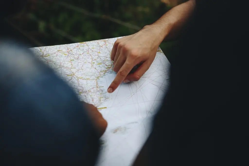
Choosing the Right Scale for Real Terrain
Decide early whether you need the intimacy of a 1:25,000 map for complex moraine, or the broader sweep of 1:50,000 when trails are clear and daylight is short. Finer scales reveal gullies that trap windslab, summer bridges that vanish, and minor cols that save hours when storms shoulder you from a planned ridge.
Contours, Cliffs, and Corridors
Read contour density like the rhythm of breath: tight stacks warn of slabs and bluffs, wide spacing promises kinder slopes. Subtle saddles make quiet corridors between hazards. In scree fields and glacier forelands, contours simplify chaos, helping you anticipate benches for rests, safe stream crossings, and sightlines for the next reliable handrail.
Route Lines That Respect Slope and Snow
Pencil routes that flirt with elevation bands rather than fight them, especially on north-facing slopes holding persistent cold. Favor ribs over gullies after snowfall, and use sun angles to time traverses. A thoughtful line helps companions conserve energy, reduces exposure time beneath seracs, and keeps morale intact when the wind grows conversational.
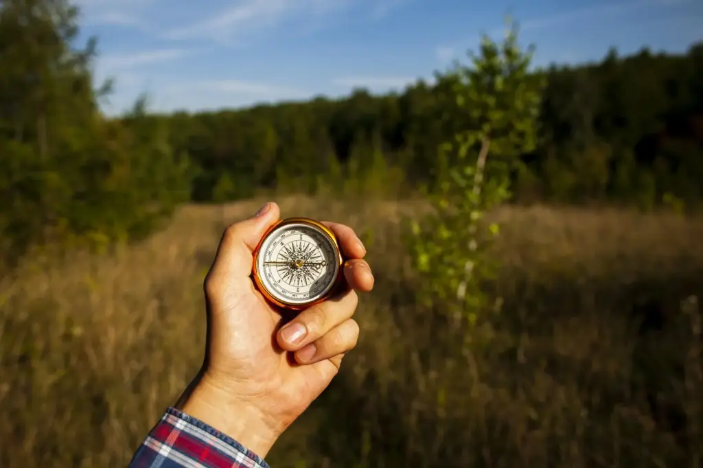
Bearing the Mountain: Practical Compass Skills
A compass steadies judgment when landmarks fade, and a small, well-practiced ritual replaces guesswork with direction. In the Alps, magnetic declination is modest yet meaningful; confirm the current value before departure. Combine bearings with terrain association, pacing, and altimeter checks to hold a line through broken limestone, fir stands, and winter whiteouts.
Shooting and Following a Bearing in Broken Ground
Lock a bearing on the map, adjust for declination if needed, then lift your eyes and choose progressive targets: a boulder, a larch, a notch. In talus and krummholz, the leapfrog method preserves accuracy. On a stormy traverse above Andermatt, a steady 280 degrees threaded our party safely between loaded cornices and a lurking bowl.
Aiming Off, Handrails, and Attack Points
When precision is fragile, deliberately aim off to a known side of your objective, intercept a stream or track as a handrail, then advance from a clear attack point. This strategy curbs searching in avalanche paths, shrinks errors in mist, and turns vague features into partners that usher you toward a reliable, confirmable landmark.
Resection When the Summit Hides
If a peak sulks in cloud, take back bearings to two or three identifiable features and triangulate your position. Even partial silhouettes of a spur or church tower can suffice. Verify with elevation, slope aspect, and time traveled. The map’s quiet geometry calms nerves, inviting patient adjustments rather than anxious, energy-wasting detours.
Föhn, Lenticulars, and the Story of the Wind
When smooth, lens-shaped clouds stack above ridges, the air is racing though the mountains even if valleys seem calm. Föhn can desiccate snow into trapdoors and ramp temperatures unexpectedly. We once felt crampon points skate on glazed névé hours after dawn, a quiet warning to exit the line before a gust turned negotiation into luck.
Halos, Morning Colors, and Pressure Clues
Ice crystal halos and rapidly reddening dawns can preface advancing fronts, while unusually clear distant views may signal drier air and rising pressure. Carry a barometric altimeter and note trends at breakfast, lunch, and camp. Marry numbers with sky reading, and you gain not certainty, but earlier, kinder decisions that conserve team spirit.
From Plan to Footsteps: Integrating Tools and Choices
Planning is choreography: map lines hum with weather timelines, compass rituals keep tempo, and forecasts cue scene changes. Build generous turnaround times, define escape corridors, and agree on signals. Invite your group into decisions so everyone owns the route. Shared judgment travels farther than strength, and it always outlasts a single lucky guess.
Inside the White: Movement When Visibility Collapses
Whiteouts arrive like a soft door closing. In that hush, systems matter: pacing, timing, bearings, and prearranged roles. Keep spacing tight, voices gentle, and goals humble. Choose legs with unambiguous handrails, aim for oversized features, and treat altimeter readings as lifelines. The mountain remains; you simply change how you listen and move.
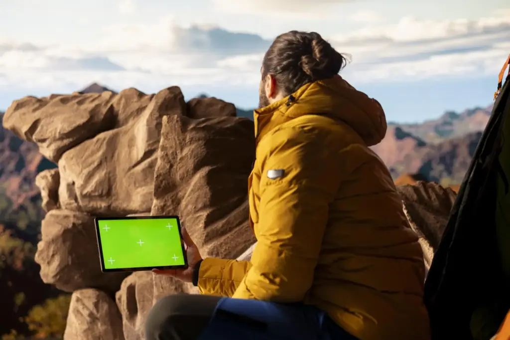
Analog Heart, Digital Help: Tech That Respects the Mountain
Phones and satellites extend reach, yet paper, compass, and practiced eyes still anchor decisions. Cache offline maps, carry spare power in insulated pockets, and cross-check GPS with contours and barometric altitude. Tools fail kindly when redundancy is planned. Share your favorite workflows and backup tricks with us; your hard-won habits could guide someone home.
All Rights Reserved.